
Ola topographic map
Interactive map
Click on the map to display elevation.
About this map
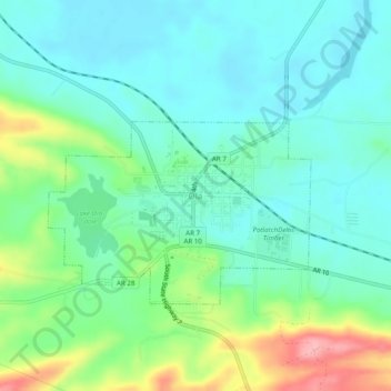
Name: Ola topographic map, elevation, terrain.
Location: Ola, Yell County, Arkansas, 72853, United States (35.01231 -93.24323 35.05231 -93.20323)
Average elevation: 121 m
Minimum elevation: 87 m
Maximum elevation: 212 m