Sur Carangas topographic map
Interactive map
Click on the map to display elevation.
About this map
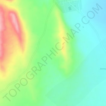
Name: Sur Carangas topographic map, elevation, terrain.
Average elevation: 3,783 m
Minimum elevation: 3,724 m
Maximum elevation: 3,882 m

Click on the map to display elevation.
Name: Sur Carangas topographic map, elevation, terrain.
Average elevation: 3,783 m
Minimum elevation: 3,724 m
Maximum elevation: 3,882 m