
Cité Faïencerie topographic map
Interactive map
Click on the map to display elevation.
About this map
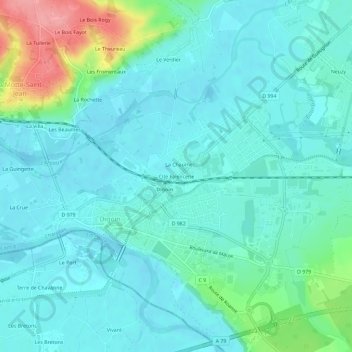
Name: Cité Faïencerie topographic map, elevation, terrain.
Average elevation: 242 m
Minimum elevation: 222 m
Maximum elevation: 325 m
Other topographic maps
Click on a map to view its topography, its elevation and its terrain.
La Chaume
France > Bourgogne-Franche-Comté > Saône-et-Loire > Digoin
La Chaume, Digoin, Charolles, Saône-et-Loire, Bourgogne-Franche-Comté, France métropolitaine, 71160, France
Average elevation: 243 m