
Vlassenbroek topographic map
Interactive map
Click on the map to display elevation.
About this map
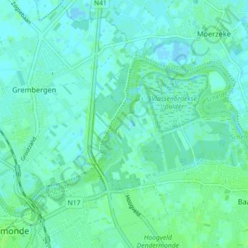
Name: Vlassenbroek topographic map, elevation, terrain.
Average elevation: 3 m
Minimum elevation: -2 m
Maximum elevation: 7 m
Other topographic maps
Click on a map to view its topography, its elevation and its terrain.
Briel
België > Oost-Vlaanderen > Dendermonde > Dendermonde > Baasrode
Briel, Baasrode, Dendermonde, Oost-Vlaanderen, Vlaanderen, 9255, België
Average elevation: 6 m