
The Villages at Mount Hood topographic map
Interactive map
Click on the map to display elevation.
About this map
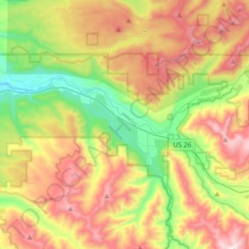
Name: The Villages at Mount Hood topographic map, elevation, terrain.
Average elevation: 808 m
Minimum elevation: 256 m
Maximum elevation: 1,521 m
Other topographic maps
Click on a map to view its topography, its elevation and its terrain.
Wemme
United States > Oregon > Clackamas County > Welches
Wemme, Welches, Clackamas County, Oregon, 97067, United States
Average elevation: 494 m