
Thank you for supporting this site ❤️
Make a donation
Make a donation
Washougal topographic map
Click on the map to display elevation.
Thank you for supporting this site ❤️
Make a donation
Make a donation
About this map
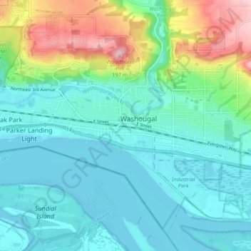
Name: Washougal topographic map, elevation, terrain.
Location: Washougal, Clark County, Washington, 98671, United States (45.55588 -122.38609 45.60491 -122.30616)
Average elevation: 50 m
Minimum elevation: 0 m
Maximum elevation: 207 m
Thank you for supporting this site ❤️
Make a donation
Make a donation