
Love Canal topographic map
Interactive map
Click on the map to display elevation.
About this map
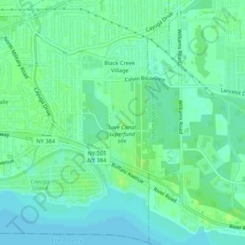
Name: Love Canal topographic map, elevation, terrain.
Average elevation: 176 m
Minimum elevation: 170 m
Maximum elevation: 181 m
Residents were suspicious of black fluid that flowed out of the Love Canal. For years, residents had complained about odors and substances in their yards or the public playgrounds. Finally the city acted and hired a consultant, Calspan Corporation, to do a far-reaching study. In 1977, a harsh winter storm dumped 33–45 inches (84–114 cm) of snow, significantly raising the water table. The excess water got into the ground water and raised the elevation of contaminants including dioxin. During the spring of 1977, the State Departments of Health and Environmental Conservation began an intensive air, soil, and groundwater sampling and analysis program after qualitative identification of a number of organic compounds in the basements of 11 homes adjacent to the Love Canal. It was also revealed that the standards at the time did not require the installation of a liner to prevent leaching; this became very common among companies.