
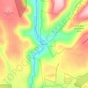
Hoyes Run topographic map
Interactive map
Click on the map to display elevation.
About this map
Name: Hoyes Run topographic map, elevation, terrain.
Location: Hoyes Run, Garrett County, Maryland, United States (39.50815 -79.43060 39.54815 -79.39060)
Average elevation: 756 m
Minimum elevation: 609 m
Maximum elevation: 883 m