
Sarasota Springs topographic map
Interactive map
Click on the map to display elevation.
About this map
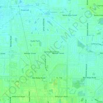
Name: Sarasota Springs topographic map, elevation, terrain.
Location: Sarasota Springs, Sarasota County, Florida, 34232, USA (27.28894 -82.49954 27.32894 -82.45954)
Average elevation: 11 m
Minimum elevation: 6 m
Maximum elevation: 15 m