
Anduze topographic map
Interactive map
Click on the map to display elevation.
About this map
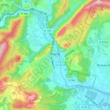
Name: Anduze topographic map, elevation, terrain.
Average elevation: 212 m
Minimum elevation: 114 m
Maximum elevation: 430 m
Vlak bij Anduze ligt La Bambouseraie de Prafrance een park met een bamboebos met stengels tot 28 m hoogte. Het werd medio 19e eeuw geplant door Eugène Mazel. Ook zijn er sequoiabomen.