
Tai Au Mun topographic map
Interactive map
Click on the map to display elevation.
About this map
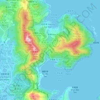
Name: Tai Au Mun topographic map, elevation, terrain.
Location: Tai Au Mun, Sai Kung District, Hong Kong, DD225 860, PRC (22.27527 114.27217 22.31527 114.31217)
Average elevation: 62 m
Minimum elevation: -1 m
Maximum elevation: 310 m