
Thank you for supporting this site ❤️
Make a donation
Make a donation
Mount Uling topographic map
Click on the map to display elevation.
Thank you for supporting this site ❤️
Make a donation
Make a donation
About this map
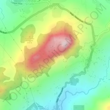
Name: Mount Uling topographic map, elevation, terrain.
Location: Mount Uling, Naga, Cebu, Central Visayas, Philippines (10.29467 123.71245 10.29477 123.71255)
Average elevation: 333 m
Minimum elevation: 135 m
Maximum elevation: 613 m
Thank you for supporting this site ❤️
Make a donation
Make a donation