
Belsen topographic map
Interactive map
Click on the map to display elevation.
About this map
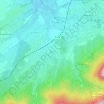
Name: Belsen topographic map, elevation, terrain.
Average elevation: 515 m
Minimum elevation: 429 m
Maximum elevation: 820 m
Other topographic maps
Click on a map to view its topography, its elevation and its terrain.
Öschingen
Deutschland > Baden-Württemberg > Landkreis Tübingen > Mössingen
Öschingen, Mössingen, Verwaltungsgemeinschaft Mössingen, Landkreis Tübingen, Baden-Württemberg, 72810, Deutschland
Average elevation: 593 m