
Laird topographic map
Interactive map
Click on the map to display elevation.
About this map
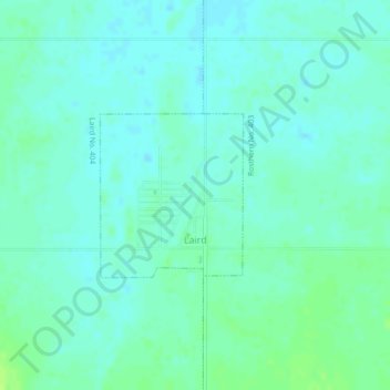
Name: Laird topographic map, elevation, terrain.
Location: Laird, Saskatchewan, S0K 2H0, Canada (52.70918 -106.59724 52.72053 -106.58089)
Average elevation: 528 m
Minimum elevation: 523 m
Maximum elevation: 540 m