
Thank you for supporting this site ❤️
Make a donation
Make a donation
Last Mountain Lake topographic map
Click on the map to display elevation.
Thank you for supporting this site ❤️
Make a donation
Make a donation
About this map
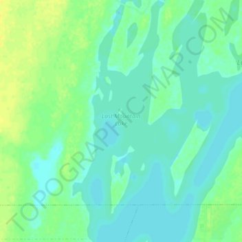
Name: Last Mountain Lake topographic map, elevation, terrain.
Location: Last Mountain Lake, Wreford No. 280, Saskatchewan, Canada (51.35020 -105.26271 51.40121 -105.22788)
Average elevation: 493 m
Minimum elevation: 486 m
Maximum elevation: 505 m
Thank you for supporting this site ❤️
Make a donation
Make a donation
Other topographic maps
Click on a map to view its topography, its elevation and its terrain.