
伊通河 topographic map
Interactive map
Click on the map to display elevation.
About this map
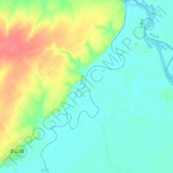
Name: 伊通河 topographic map, elevation, terrain.
Location: 伊通河, 德惠市, 长春市, 吉林省, 130000, 中国 (44.76640 125.67649 44.88395 125.75809)
Average elevation: 165 m
Minimum elevation: 148 m
Maximum elevation: 210 m
Other topographic maps
Click on a map to view its topography, its elevation and its terrain.