
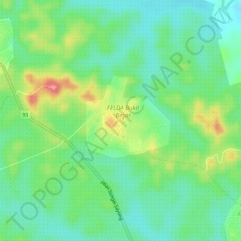
FELDA Bukit Besar topographic map
Interactive map
Click on the map to display elevation.
About this map
Name: FELDA Bukit Besar topographic map, elevation, terrain.
Location: FELDA Bukit Besar, Johor, 81450, Malaysia (1.75040 103.68547 1.79040 103.72547)
Average elevation: 36 m
Minimum elevation: 4 m
Maximum elevation: 99 m