
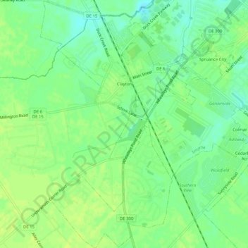
Clayton topographic map
Interactive map
Click on the map to display elevation.
About this map
Name: Clayton topographic map, elevation, terrain.
Location: Clayton, Kent County, Delaware, United States (39.26467 -75.65153 39.30384 -75.62458)
Average elevation: 14 m
Minimum elevation: 4 m
Maximum elevation: 20 m