
Stanford topographic map
Interactive map
Click on the map to display elevation.
About this map
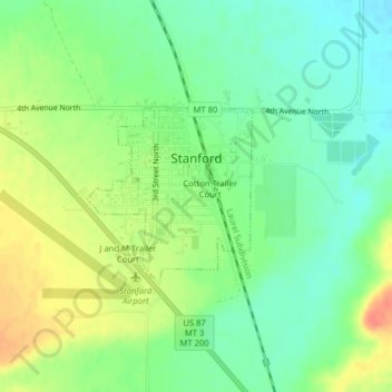
Name: Stanford topographic map, elevation, terrain.
Average elevation: 1,304 m
Minimum elevation: 1,284 m
Maximum elevation: 1,331 m
Other topographic maps
Click on a map to view its topography, its elevation and its terrain.
Raynesford
United States > Montana > Judith Basin County
Raynesford, Judith Basin County, Montana, 59469, United States
Average elevation: 1,305 m