
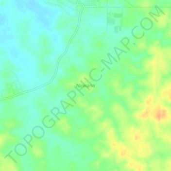
Nirwana topographic map
Interactive map
Click on the map to display elevation.
About this map
Name: Nirwana topographic map, elevation, terrain.
Average elevation: 43 m
Minimum elevation: 29 m
Maximum elevation: 64 m
Other topographic maps
Click on a map to view its topography, its elevation and its terrain.
Bantan
Indonesia > South Sumatra > Ogan Komering Ulu Timur > Bantan
Bantan, Buay Pemuka Peliung, Ogan Komering Ulu Timur, South Sumatra, Indonesia
Average elevation: 91 m