
万峰林景区 topographic map
Interactive map
Click on the map to display elevation.
About this map
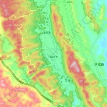
Name: 万峰林景区 topographic map, elevation, terrain.
Location: 万峰林景区, 万峰林, 兴义市, 黔西南布依族苗族自治州, 贵州省, 中国 (24.94202 104.91319 25.00901 104.94276)
Average elevation: 1,264 m
Minimum elevation: 1,031 m
Maximum elevation: 1,585 m
Other topographic maps
Click on a map to view its topography, its elevation and its terrain.