
柘溪 topographic map
Interactive map
Click on the map to display elevation.
About this map
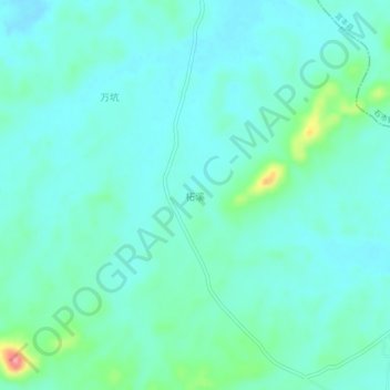
Name: 柘溪 topographic map, elevation, terrain.
Location: 柘溪, 徐家渡镇, 上高县, 宜春市, 江西省, 中国 (28.18705 114.68589 28.22705 114.72589)
Average elevation: 82 m
Minimum elevation: 63 m
Maximum elevation: 163 m