
Cerro Colupo topographic map
Interactive map
Click on the map to display elevation.
About this map
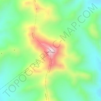
Name: Cerro Colupo topographic map, elevation, terrain.
Average elevation: 2,061 m
Minimum elevation: 1,912 m
Maximum elevation: 2,297 m
Other topographic maps
Click on a map to view its topography, its elevation and its terrain.
Geoparque Villa Covadonga
Chile > Región de Antofagasta > Tocopilla
Geoparque Villa Covadonga, Tocopilla, Provincia de Tocopilla, Región de Antofagasta, Chile
Average elevation: 138 m