
Roads topographic map
Interactive map
Click on the map to display elevation.
About this map
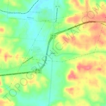
Name: Roads topographic map, elevation, terrain.
Location: Roads, Jackson County, Ohio, 45692, United States of America (39.06118 -82.55794 39.10118 -82.51794)
Average elevation: 238 m
Minimum elevation: 204 m
Maximum elevation: 278 m