
Thank you for supporting this site ❤️
Make a donation
Make a donation
De Horst topographic map
Click on the map to display elevation.
Thank you for supporting this site ❤️
Make a donation
Make a donation
About this map
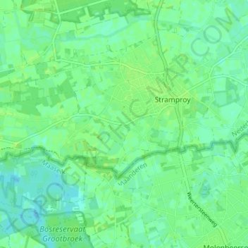
Name: De Horst topographic map, elevation, terrain.
Location: De Horst, Stramproy, Weert, Limburg, Nederland, 6039, Nederland (51.16923 5.69106 51.20923 5.73106)
Average elevation: 32 m
Minimum elevation: 27 m
Maximum elevation: 36 m
Thank you for supporting this site ❤️
Make a donation
Make a donation