
Pawhuska topographic map
Interactive map
Click on the map to display elevation.
About this map
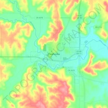
Name: Pawhuska topographic map, elevation, terrain.
Location: Pawhuska, Osage County, Oklahoma, 74056, United States (36.62784 -96.37723 36.70784 -96.29723)
Average elevation: 272 m
Minimum elevation: 235 m
Maximum elevation: 326 m