
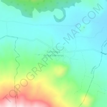
San Felipe de los Herreros topographic map
Interactive map
Click on the map to display elevation.
About this map
Name: San Felipe de los Herreros topographic map, elevation, terrain.
Location: San Felipe de los Herreros, Charapan, Michoacán, México (19.59700 -102.20215 19.63700 -102.16215)
Average elevation: 2,285 m
Minimum elevation: 2,145 m
Maximum elevation: 2,680 m
Other topographic maps
Click on a map to view its topography, its elevation and its terrain.