
Guerbes topographic map
Interactive map
Click on the map to display elevation.
About this map
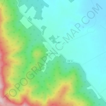
Name: Guerbes topographic map, elevation, terrain.
Location: Guerbes, Djendel Saadi Mohamed, Daïra Azzaba, Skikda, Algérie (36.85784 7.17184 36.89784 7.21184)
Average elevation: 122 m
Minimum elevation: 18 m
Maximum elevation: 383 m