
于都县 topographic map
Interactive map
Click on the map to display elevation.
About this map
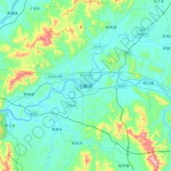
Name: 于都县 topographic map, elevation, terrain.
Location: 于都县, 赣州市, 江西省, 中国 (25.79437 115.25047 26.11437 115.57047)
Average elevation: 242 m
Minimum elevation: 104 m
Maximum elevation: 949 m
Other topographic maps
Click on a map to view its topography, its elevation and its terrain.