
Cleveland topographic map
Interactive map
Click on the map to display elevation.
About this map
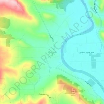
Name: Cleveland topographic map, elevation, terrain.
Location: Cleveland, Douglas County, Oregon, United States (43.27623 -123.49647 43.31623 -123.45647)
Average elevation: 171 m
Minimum elevation: 98 m
Maximum elevation: 334 m