
Lagaip District topographic map
Interactive map
Click on the map to display elevation.
About this map
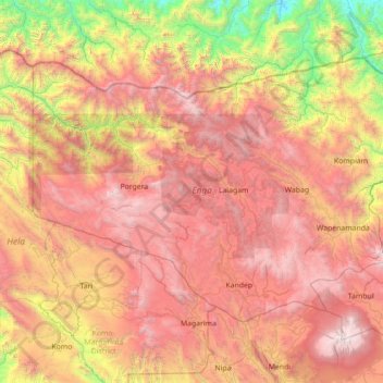
Name: Lagaip District topographic map, elevation, terrain.
Location: Lagaip District, Enga, Hochlandregion, Papua-Neuguinea (-6.20000 142.63333 -4.80000 144.03333)
Average elevation: 1,974 m
Minimum elevation: 35 m
Maximum elevation: 4,168 m