
Tassamert topographic map
Interactive map
Click on the map to display elevation.
About this map
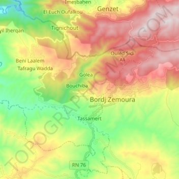
Name: Tassamert topographic map, elevation, terrain.
Location: Tassamert, Daïra Bordj Zemoura, Bordj Bou Arreridj, Algérie (36.22727 4.74515 36.32091 4.86845)
Average elevation: 938 m
Minimum elevation: 455 m
Maximum elevation: 1,515 m