
Thank you for supporting this site ❤️
Make a donation
Make a donation
Col d'Ibardin topographic map
Click on the map to display elevation.
Thank you for supporting this site ❤️
Make a donation
Make a donation
About this map
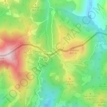
Name: Col d'Ibardin topographic map, elevation, terrain.
Average elevation: 294 m
Minimum elevation: 110 m
Maximum elevation: 563 m
Thank you for supporting this site ❤️
Make a donation
Make a donation
Other topographic maps
Click on a map to view its topography, its elevation and its terrain.
Hendaye-Côte Basque-Sud
France > Nouvelle-Aquitaine > Pyrénées-Atlantiques > Urrugne
Average elevation: 122 m