
Bukit Apit topographic map
Interactive map
Click on the map to display elevation.
About this map
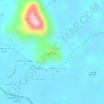
Name: Bukit Apit topographic map, elevation, terrain.
Location: Bukit Apit, Kampung Bukit Apit, Terengganu, 21800, Malaysia (5.08825 103.10496 5.08835 103.10506)
Average elevation: 39 m
Minimum elevation: 3 m
Maximum elevation: 284 m