
Bald Hill topographic map
Interactive map
Click on the map to display elevation.
About this map
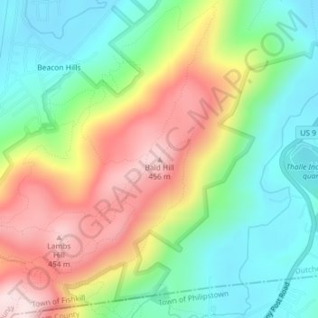
Name: Bald Hill topographic map, elevation, terrain.
Average elevation: 223 m
Minimum elevation: 62 m
Maximum elevation: 459 m
Other topographic maps
Click on a map to view its topography, its elevation and its terrain.
Glenham
United States > New York > Dutchess County > Town of Fishkill
Glenham, Town of Fishkill, Dutchess County, New York, 12527, United States
Average elevation: 108 m