
Barrett Pond topographic map
Interactive map
Click on the map to display elevation.
About this map
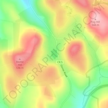
Name: Barrett Pond topographic map, elevation, terrain.
Average elevation: 461 m
Minimum elevation: 366 m
Maximum elevation: 542 m
Other topographic maps
Click on a map to view its topography, its elevation and its terrain.
Spencertown
United States > New York > Columbia County > Town of Austerlitz
Spencertown, Town of Austerlitz, Columbia County, New York, 12165, United States
Average elevation: 279 m