
Mankana topographic map
Interactive map
Click on the map to display elevation.
About this map
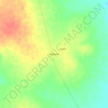
Name: Mankana topographic map, elevation, terrain.
Location: Mankana, Mayo-Kebbi Ouest, Chad (8.79470 15.17660 8.83470 15.21660)
Average elevation: 474 m
Minimum elevation: 446 m
Maximum elevation: 504 m
Other topographic maps
Click on a map to view its topography, its elevation and its terrain.