
Snake River topographic map
Interactive map
Click on the map to display elevation.
About this map
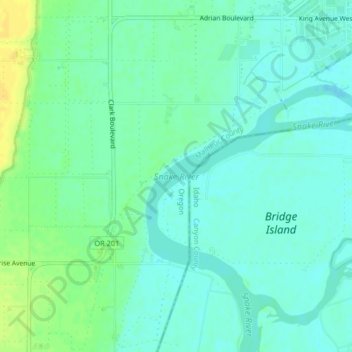
Name: Snake River topographic map, elevation, terrain.
Location: Snake River, Nyssa, Malheur County, Oregon, United States (43.84731 -117.02225 43.87250 -116.98133)
Average elevation: 669 m
Minimum elevation: 661 m
Maximum elevation: 683 m