
墨水河 topographic map
Interactive map
Click on the map to display elevation.
About this map
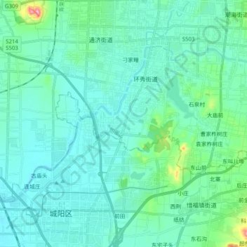
Name: 墨水河 topographic map, elevation, terrain.
Location: 墨水河, 环秀街道, 即墨区, 青岛市, 山东省, 266200, 中国 (36.30993 120.35769 36.38830 120.51238)
Average elevation: 31 m
Minimum elevation: 2 m
Maximum elevation: 216 m