
Tamest topographic map
Interactive map
Click on the map to display elevation.
About this map
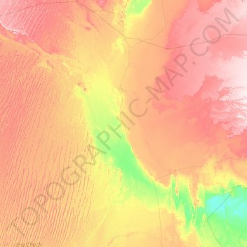
Name: Tamest topographic map, elevation, terrain.
Location: Tamest, Daïra de Fenoughil, Adrar, 01028, Algérie (27.30171 -3.03577 27.58706 0.47201)
Average elevation: 295 m
Minimum elevation: 119 m
Maximum elevation: 543 m