
El Bouihi topographic map
Interactive map
Click on the map to display elevation.
About this map
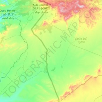
Name: El Bouihi topographic map, elevation, terrain.
Location: El Bouihi, Daïra Sidi Djilali, Tlemcen, Algérie (34.09667 -1.78297 34.51044 -1.31440)
Average elevation: 1,158 m
Minimum elevation: 908 m
Maximum elevation: 1,834 m