
驼梁 topographic map
Interactive map
Click on the map to display elevation.
About this map
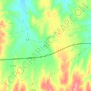
Name: 驼梁 topographic map, elevation, terrain.
Location: 驼梁, 东升镇, 靖远县, 白银市, 甘肃省, 中国 (36.91650 104.94300 36.95650 104.98300)
Average elevation: 1,806 m
Minimum elevation: 1,741 m
Maximum elevation: 1,887 m