
Thank you for supporting this site ❤️
Make a donation
Make a donation
Sjörröd topographic map
Click on the map to display elevation.
Thank you for supporting this site ❤️
Make a donation
Make a donation
About this map
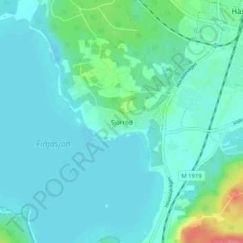
Name: Sjörröd topographic map, elevation, terrain.
Location: Sjörröd, Hässleholms kommun, Skåne County, 281 35, Sweden (56.11974 13.70670 56.15974 13.74670)
Average elevation: 50 m
Minimum elevation: 38 m
Maximum elevation: 112 m
Thank you for supporting this site ❤️
Make a donation
Make a donation