
Shoals topographic map
Interactive map
Click on the map to display elevation.
About this map
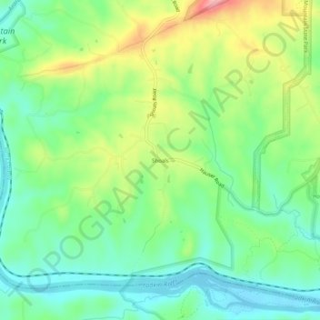
Name: Shoals topographic map, elevation, terrain.
Location: Shoals, Surry County, North Carolina, United States (36.25403 -80.53117 36.29403 -80.49117)
Average elevation: 279 m
Minimum elevation: 230 m
Maximum elevation: 367 m