
Granger topographic map
Interactive map
Click on the map to display elevation.
About this map
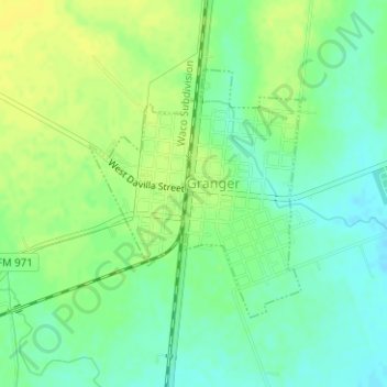
Name: Granger topographic map, elevation, terrain.
Location: Granger, Williamson County, Texas, United States (30.70875 -97.45131 30.72607 -97.43406)
Average elevation: 173 m
Minimum elevation: 163 m
Maximum elevation: 182 m