
Hextable topographic map
Click on the map to display elevation.
About this map
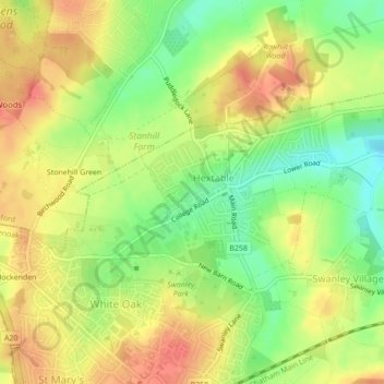
Name: Hextable topographic map, elevation, terrain.
Location: Hextable, Sevenoaks, Kent, England, United Kingdom (51.40392 0.16490 51.41798 0.20582)
Average elevation: 61 m
Minimum elevation: 31 m
Maximum elevation: 84 m