
Apple Pie Hill Station Fire Tower topographic map
Interactive map
Click on the map to display elevation.
About this map
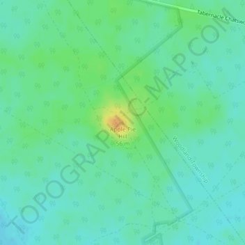
Name: Apple Pie Hill Station Fire Tower topographic map, elevation, terrain.
Average elevation: 34 m
Minimum elevation: 25 m
Maximum elevation: 56 m
Other topographic maps
Click on a map to view its topography, its elevation and its terrain.
Hampton Gate
United States > New Jersey > Burlington County > Tabernacle Township
Hampton Gate, Tabernacle Township, Burlington County, New Jersey, United States
Average elevation: 24 m