
Thank you for supporting this site ❤️
Make a donation
Make a donation
Hosford topographic map
Click on the map to display elevation.
Thank you for supporting this site ❤️
Make a donation
Make a donation
About this map
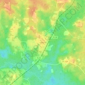
Name: Hosford topographic map, elevation, terrain.
Location: Hosford, Liberty County, Florida, 32334, United States (30.36659 -84.81797 30.40659 -84.77797)
Average elevation: 27 m
Minimum elevation: 5 m
Maximum elevation: 48 m
Thank you for supporting this site ❤️
Make a donation
Make a donation
Other topographic maps
Click on a map to view its topography, its elevation and its terrain.