
Scandia topographic map
Interactive map
Click on the map to display elevation.
About this map
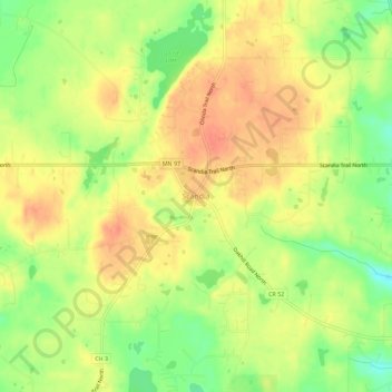
Name: Scandia topographic map, elevation, terrain.
Location: Scandia, Washington County, Minnesota, 55073, United States (45.23337 -92.82630 45.27337 -92.78630)
Average elevation: 308 m
Minimum elevation: 279 m
Maximum elevation: 327 m