
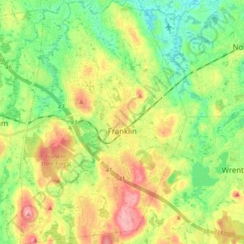
Franklin topographic map
Interactive map
Click on the map to display elevation.
About this map
Name: Franklin topographic map, elevation, terrain.
Location: Franklin, Norfolk County, Massachusetts, United States (42.03490 -71.45590 42.13954 -71.35927)
Average elevation: 80 m
Minimum elevation: 34 m
Maximum elevation: 148 m